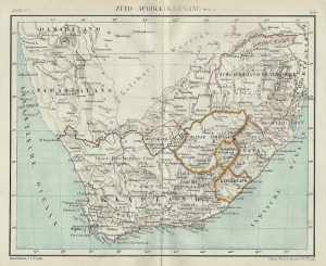
This map is still under development. At the moment 26 locations have been fully described. The other locations have been marked with a blue pin and show name and address information of the location. We hope to make a total of 80 locations visible as soon as possible.
The location have been described along six themes:
- Enslavement and family life (light blue icon)
- Khoekoe and enslaved entanglement (green)
- Religion (yellow)
- Museums and archives (white)
- Resistance and rebellion (purple)
- Control, profit, and trade (orange)
The list of description beneath the map can be sorted along the colors of the icons used.


